
The challenge
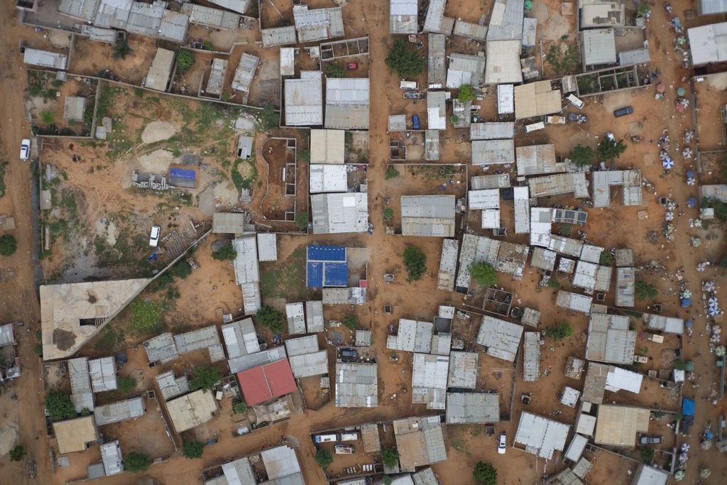
Accurate land information provides a foundation for planning, administration and financial decisions. Where boundaries are not reliably mapped, even identifying a specific parcel can be difficult.
Bringing the solution together
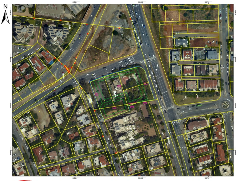
Falcon Eye brought aerial mapping expertise and technology into work supporting land identification. The work includes orthophotographic mapping and aerial data acquisition using fixed-wing aircraft.
Making it work on the ground
The broader consultancy described by the company connected mapping and cadastre with the requirements of banks and land administration. The objective was to make a specific area identifiable through accurate map coordinates.
Beyond the immediate task
Maps, analysis and specialist advice were deliverables in their own right. They helped provide a technical basis on which other organisations could carry out their work.